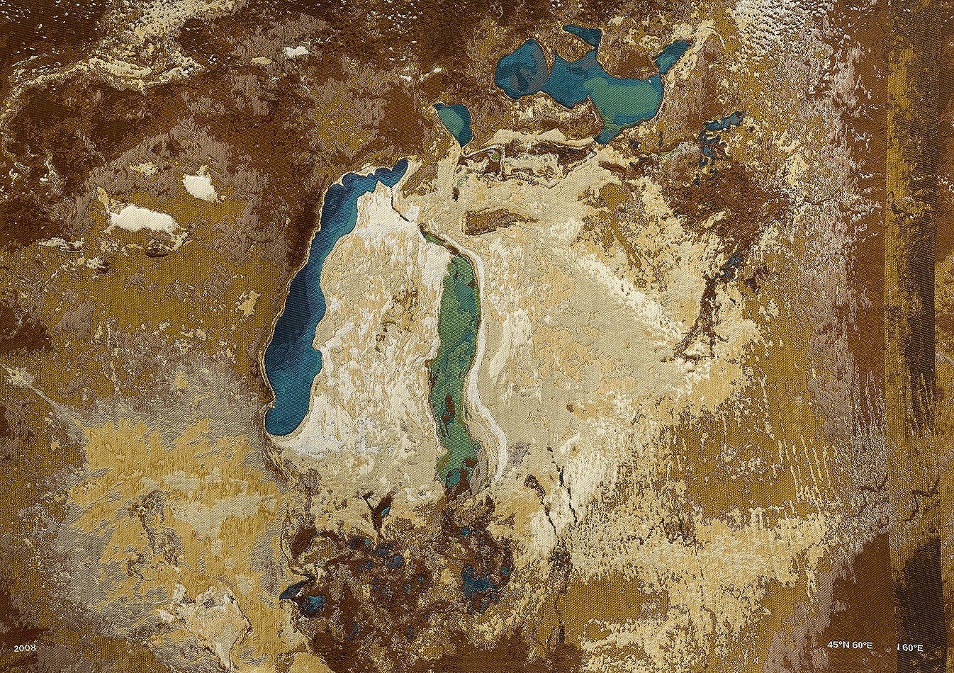
Aral Sea tapestry: sea-cotton-image, 2013
Tapestry: cotton, silk, golden thread. Size: 26.5 x 162 inches (67 x 412 cm)
The identity of the territory being reflected is revealed in Aral Sea Tapestry: Sea-Cotton-Image. Here, four satellite images of the same geography taken at intervals of three to four years (1989, 2002, 2008, and 2012) are finely woven into a length of cotton cloth. These images evince the radical shrinkage of a significant body of water over the course of only a few years. Formerly one of the four largest inland sea-lakes in the world, the Aral Sea once occupied a 26,000-square-mile area between Kazakhstan and Uzbekistan, also known as Karakalpakstan; through the first half of the twentieth century, it supported farming and fishing in the surrounding river deltas. In the nineteen-sixties, the Soviet Union diverted two rivers––the Syr Darya and the Amu Darya––to bring snowmelt and rainfall from distant mountains to newly created cotton fields in the desert surrounding the basin. Within less than fifty years, the Aral Sea has been reduced to twenty-five percent of its original size and holds about ten percent of its original volume of water. The loss has caused a transformation in the regional ecology of such consequence that it is considered an environmental ruin of unparalleled proportion. Disposing of irony, Ginzburg’s delivery of images of the sea’s demise in cotton thread, the very material that led to its disappearance, imbues this history with an emotional texture unseen by the disembodied eye of the satellite.


